Mt. Ray
Trail Snapshot:
Status
Riding Well
Length
2.7 miles
Elevation
1050' ↑
C.O.D.
Deadfall
none
Trail Description
ebike allowed or not caveatE-bikes NOT allowed on Mt. Ray
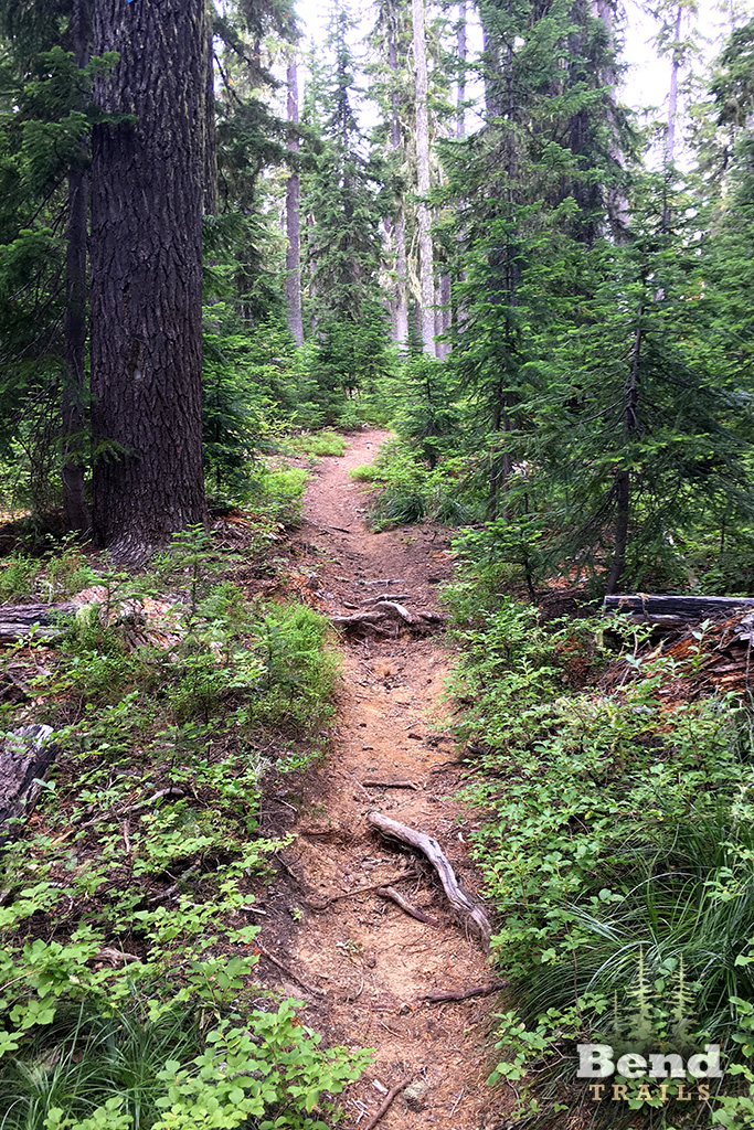
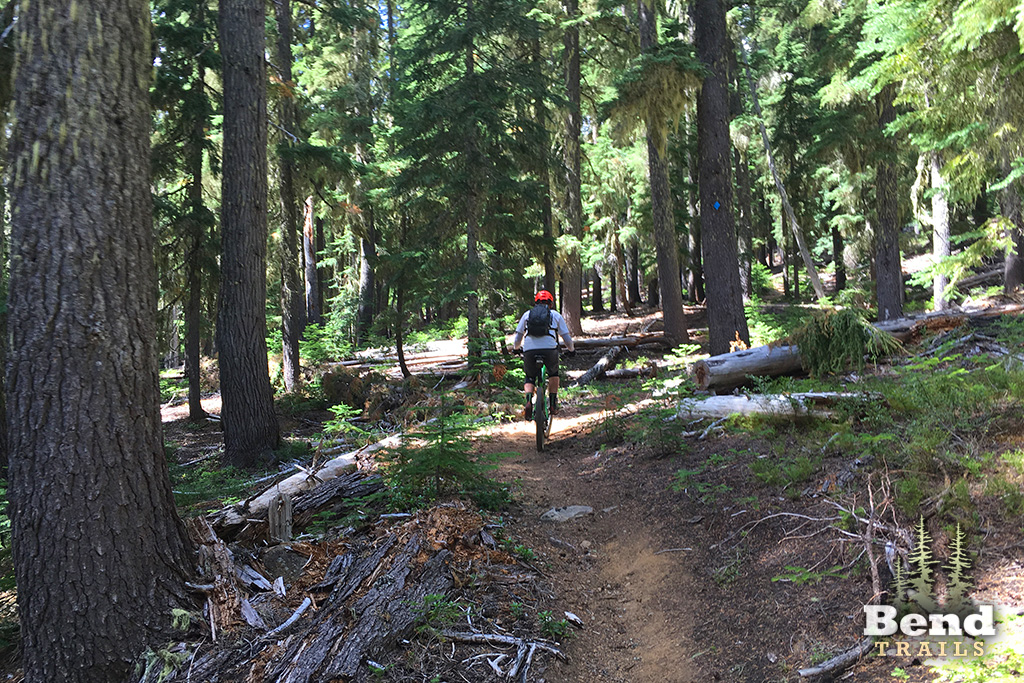
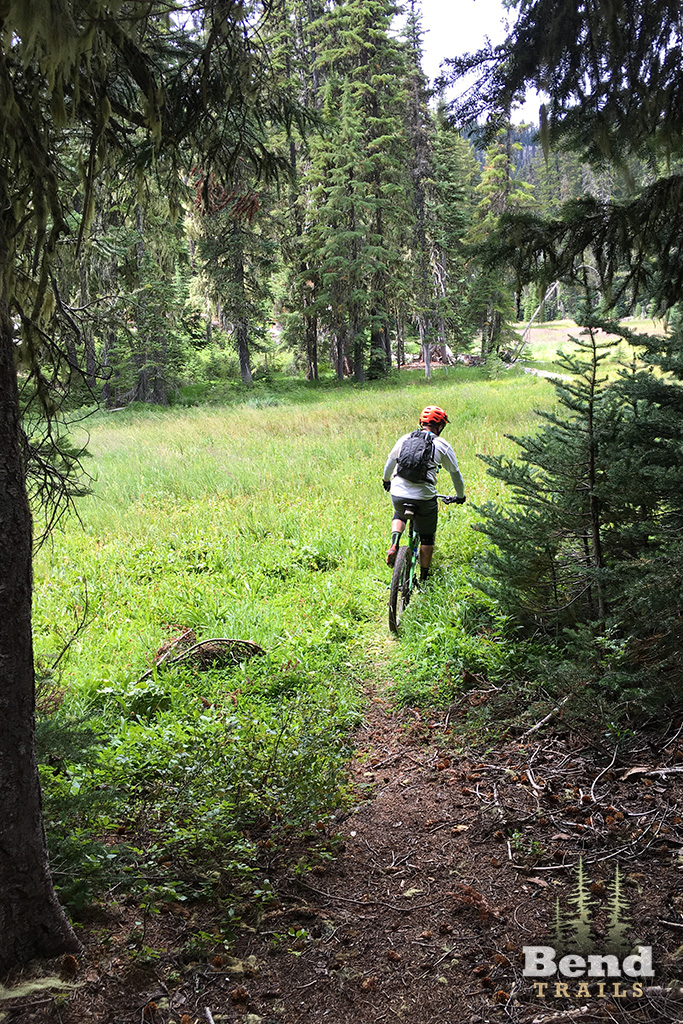
The Mt. Ray Trail follows the Ray Creek drainage on moderate grades and passes through Pothole Meadows. After the meadows the trail begins to climb to the South Waldo Trail #3586. If riding, do not go any further on Mt Ray Trail as the trail crosses quickly into a wilderness area.
Trail description from the US Forest Service website.
Trail Photos
Closed because of the Cedar Creek Fire.
Closed due to Cedar Fire.
cleared on 7/9/22, Waldo Ultras.
trail should be clear per waldo 100 crew.
trail now clear per Waldo 100 crew!
trail should now be clear per waldo 100 crew
Several big trees on trail. Standing water in meadow. Mosquitoes at level 8/10. Logging and tread work scheduled for 7/22.
rode the loop CW yesterday. Indeed riding up Fuji was much better than riding up Mt Ray, but you might ride more total elevation on Fuji as the trail goes up and down like a roller coaster. The descent down Ray is a sustained downhill, but doesn’t ride all to well in my opinion.
Plenty huckleberries !
One tree was down a couple days ago. Rideable
I’ll add that downhill is the better way to ride this trail. It’s pretty steep and technical.