Deschutes River
Trail Snapshot:
Trail Description
ebike allowed or not caveatE-bikes NOT allowed on Deschutes River
The Deschutes River Trail is a scenic local favorite — but not during tourist season when it gets crowded with walkers, sightseers, and raft tours.
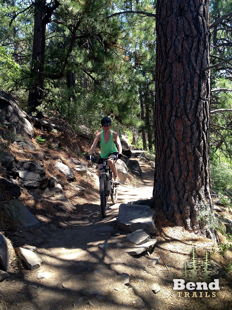
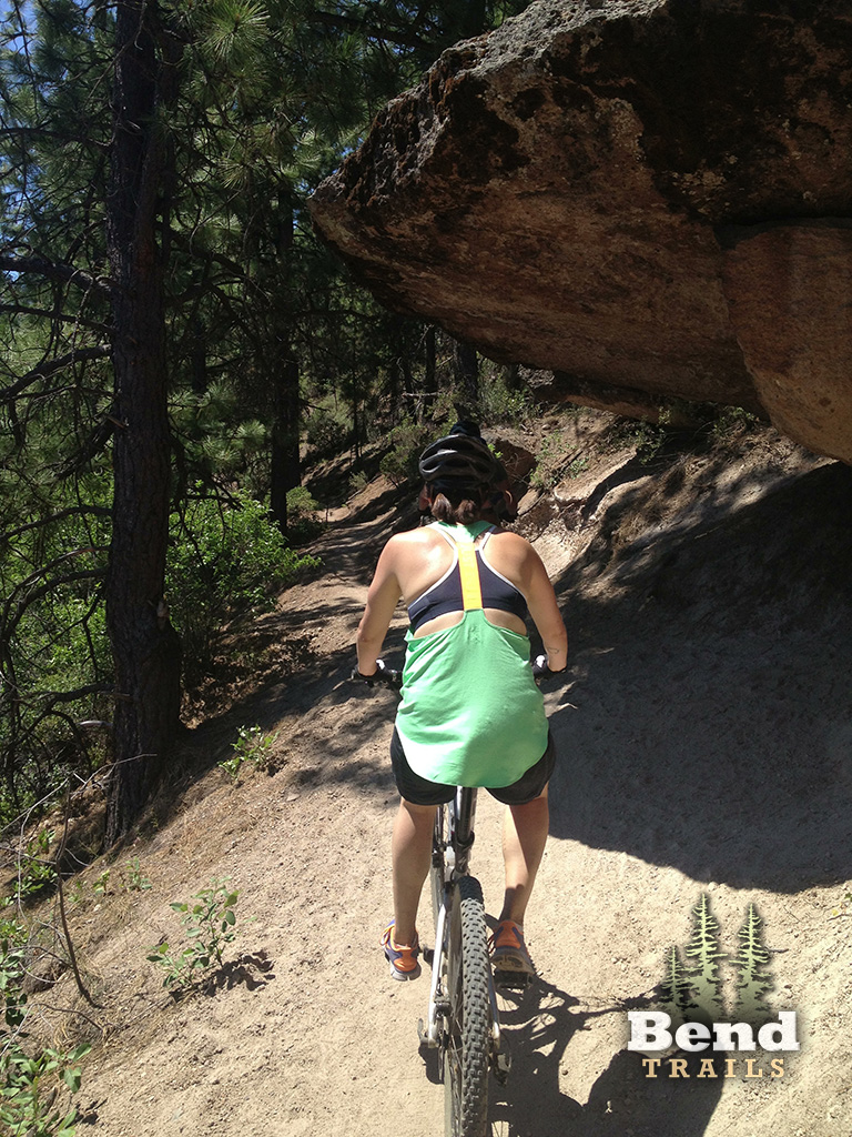
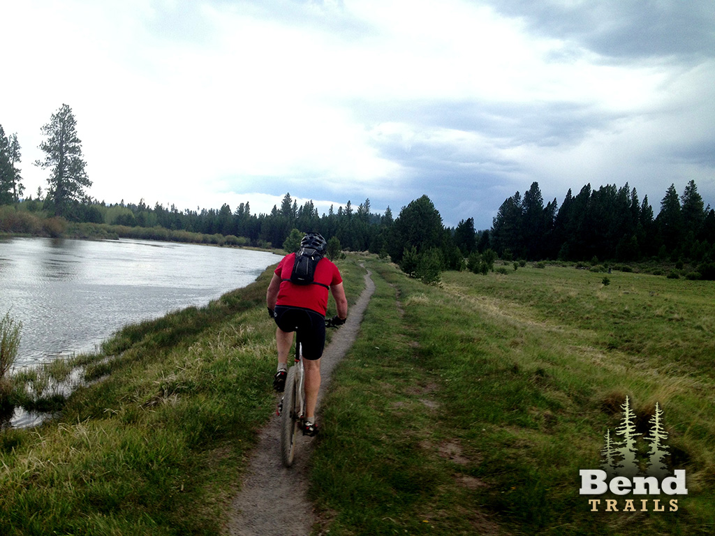
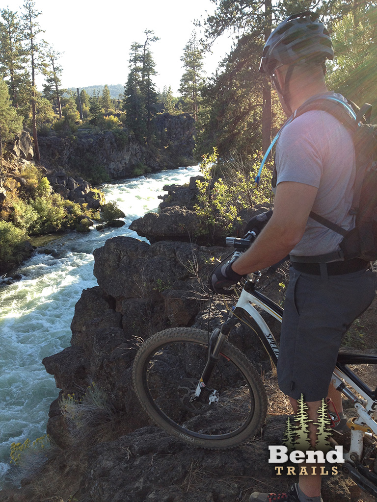
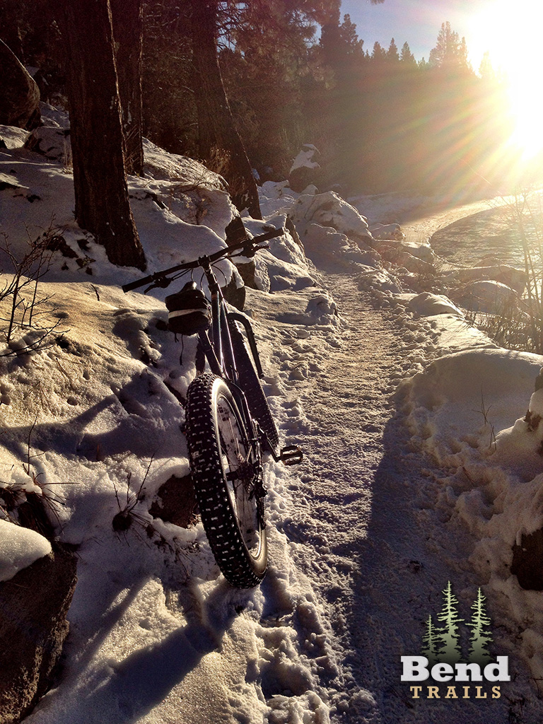
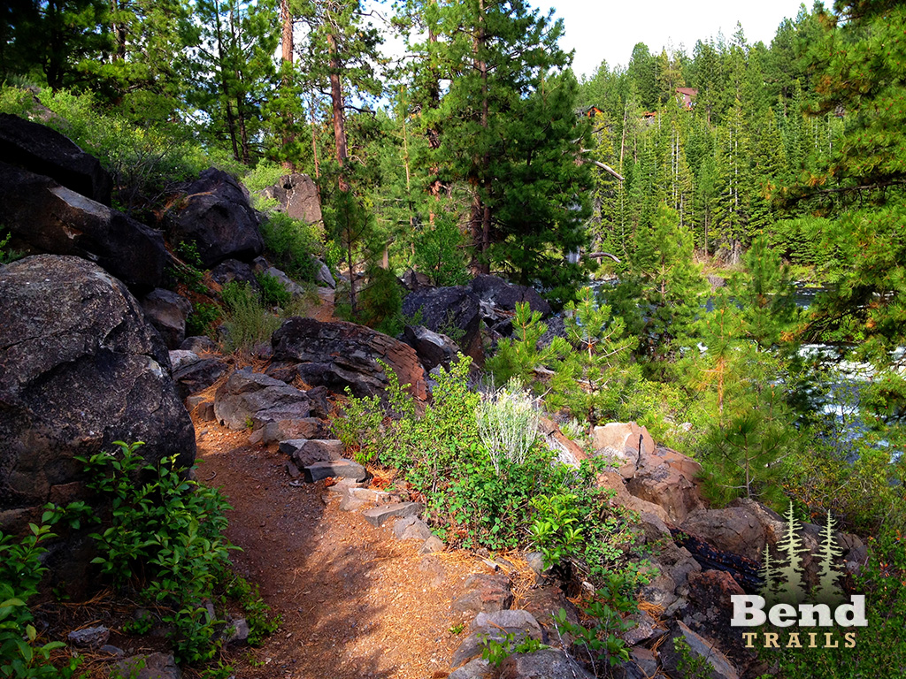
The trail starts at the Loge Camp, across from one of the entrances to C.O.D. Initially the trail climbs up and over a ridge, where it then settles along the West side of the Deschutes River. The trail is fairly intermediate as with most river trails. Secome sections are smooth and simple. Others are rock gardens and steep climbs. The trail ends at the Benham falls overlook where you can connect with the Black Rock Trail. Mosquitoes can be brutal, so keep up the inertia and bring some spray or wipes.
The Deschutes River Trail can be tricky to follow, as there are quite a few options and turn offs at various spots — but they all usually end up in the same place. When in doubt stay near the river.
The trail is maintained by Central Oregon Running Klub.
dechutes river, dechutes river trail, dillon fallsTrail Photos
I believe east of 41 the trails are still opened so this trial is open. I think…
Closed due to Fire.
Dillion to Benham still has some good stretches but also some muddy segments in the low spots, particularly the South Day Use Area. I walked the muddy sections.
Riding nearly perfect from Loge to Benham.
Trail from SunRiver to Benham Falls still very icy and muddy!
The autumn colors have begun and are going off right now. Very few hikers. Now is the time to ride this trail.
Dry and clear. Riding really well from Tyler’s Trailhead to Sunriver.
Rode from lower Tyler’s south towards Benham Falls and there quite a few trees down. Definitely a job for a chain saw.
Trail is now clear from Slough to Benham Falls. Thanks trail gnomes!
All clear with just a couple spots of wet from Rim Rock (Good Dog) to Aspen Day Use Area. From there it looked like a long stretch of mud, so I turned around.
DRT is in great shape until you start to approach Benham Falls where it gets muddy.
Trail is good from Loge Entrada for about 6 miles until you hit snow. Report from Central oregon trail runners on FB.
Two large widely separated trees down. One walk around and the other a ride around.
Hi Bruce. Do you have a location for these trees?
Removed the low hanging branches near the bottom of the Dillon Falls downhill. Thanks Doug W for clearing the tree near the Seventh Mountain lake.
One is between Lava Island and Aspen accesses, close to Big Eddy, but don’t remember which side. The other between Dillon Falls and the Slough accesses. Seems close to the same distance from either, but might be a little closer to the Slough.
Cleared the tree near Dillon/Slough! I didn’t see the other one between Aspen and Lava Island access. Either someone else cleared, it’s on an alt line, or I missed it.
Forgot about the various hiker or biker options. I stay closest to the river for the views.
The only stretch that is specifically posted no bikes is downstream of Dillon Falls. I doubt that low route would be ride-able by me anyway.
Perfect tread from Entrada to Benham. A couple big trees went down from the recent high wind but luckily they both landed parallel to the trail! I managed to clean up a little debris that was blocking the trail without need of saw. In addition the previous deadfall crossing the trail has been cleared up and all ride arounds blocked.
Rode from La Entrada to Benham Falls. There were a couple of soft spots, but very few -overall in very good shape.
Short stretch of the Deschutes River Trail between Sunriver and the bridge is riding excellent!
1-3” fluff over packed trail from Lava Island to Benham Falls. About 5 big trees down between Dillon and Benham. Super sweet on the fatty!
Conditions were very good above the Aspen day use area and then you start to hit intermittent soft spots but nothing too serious/mostly rideable stuff. Still probably wise to avoid on weekends but if you got it on a low traffic day it’s quite a fun time. I’d also suggest taking Entrada+River loop at the start since the other trails were beat up a bit more.
4 trees cleared near slough camp today by cota. Peace out.
Entire trail is in great shape, all the way to Sunriver. No snow or mud today.
Lava Island to Benham Falls is perfect tacky dirt except for 2 short patches of melting ice/snow and 2 trees down near Slough meadow.
Clear as far as Aspen access. Snow patches upriver of there.
Trail from Bend to the hiking pass bridge were in surprising great condition considering the rain/snow over the last few days. May have to dodge a puddle here or there but nothing to sweat.
On the verge of getting muddy if the rain continues.
Some long snow patches around Slough area (where I started) but after that it was perfect dirt back to Entrada. A few blow-downs but nothing you can’t climb over.