Alpine » Lower
Trail Snapshot:
Trail Description
ebike allowed or not caveatE-bikes allowed on Alpine » Lower
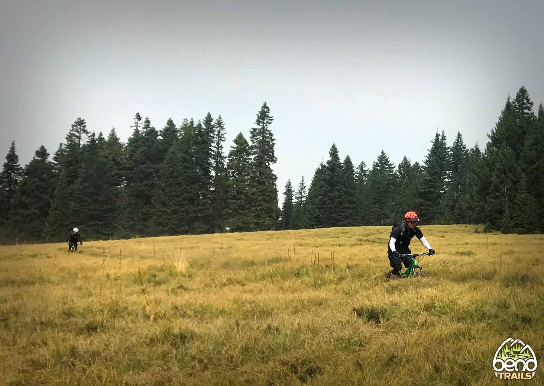
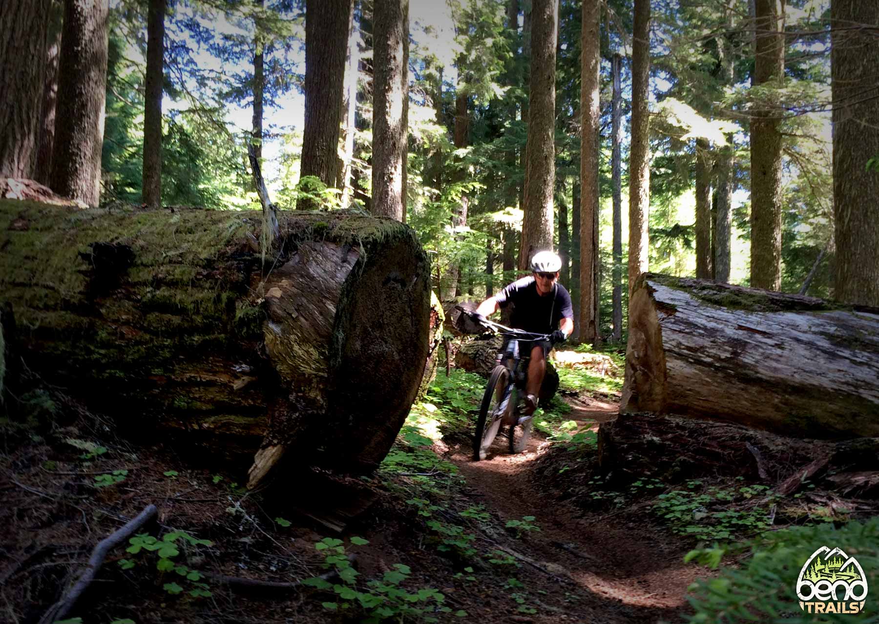
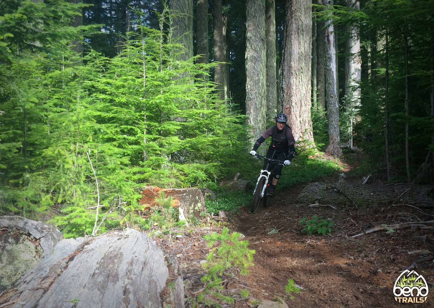
Alpine is definitely the most famous trail in Oakridge — and with 13 miles of mostly downhill to the valley floor, it’s easy to see why. Commonly ridden as a shuttle via NF-1912 to “Kate’s Cut In”. Alpine isn’t a true DH trail — with over 2500′ feet of climbing, it rides more like an enduro or XC trail.
Upper Alpine stay under the snow until early early summer, so Lower Alpine is usually ridden as an out-and-back to the snow line until it melts out. There are several places where forest roads and the trail intersect, making for some good early-season riding options.
When 99% of people ride down Lower Alpine – they turn left on the Westfir Tie, so that they end at the RCB (Red Covered Bridge). The Bottom most portion of Lower Apline is a bit overgrown and under used.
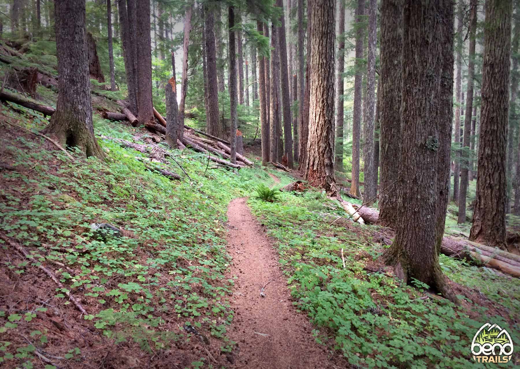
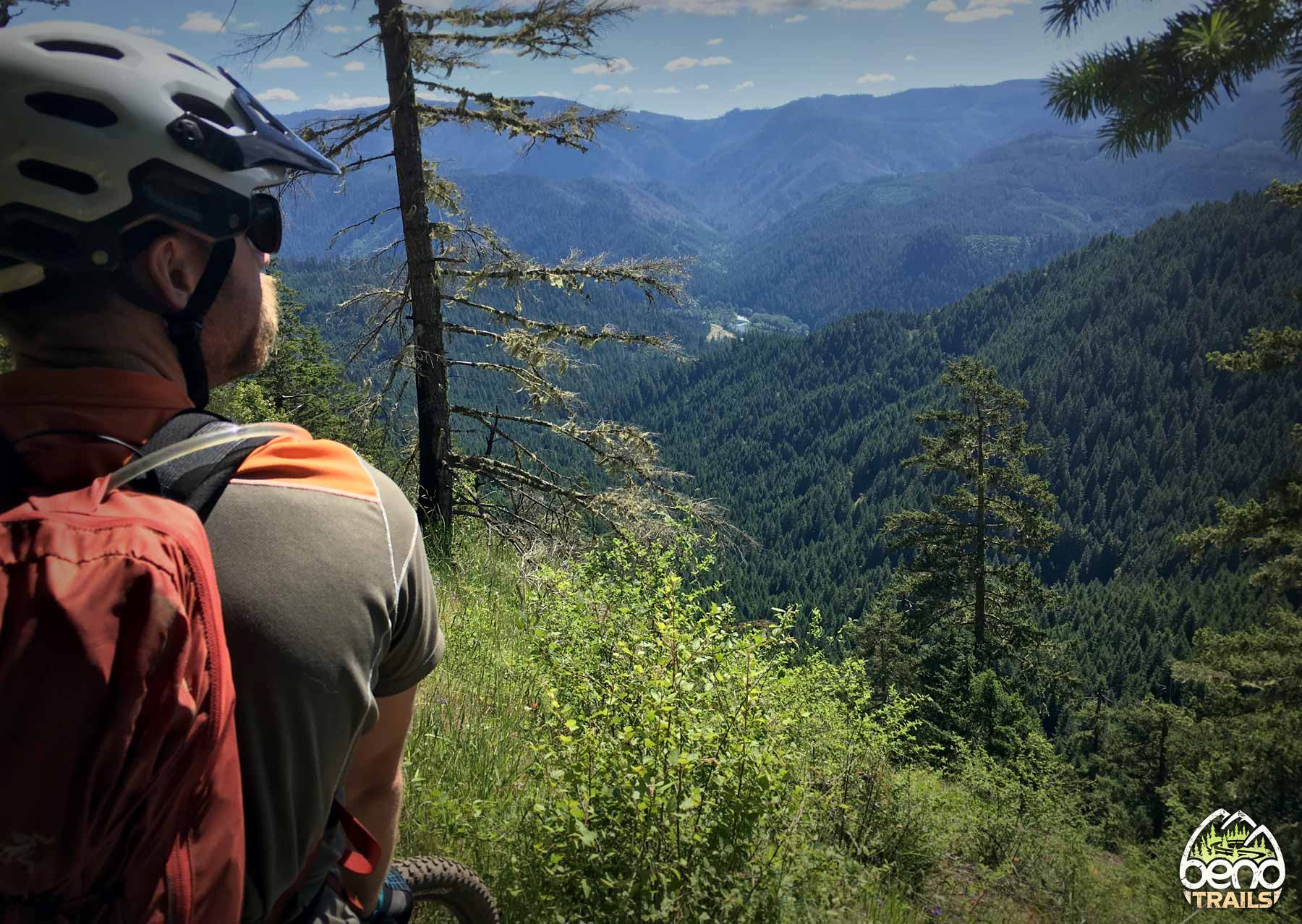
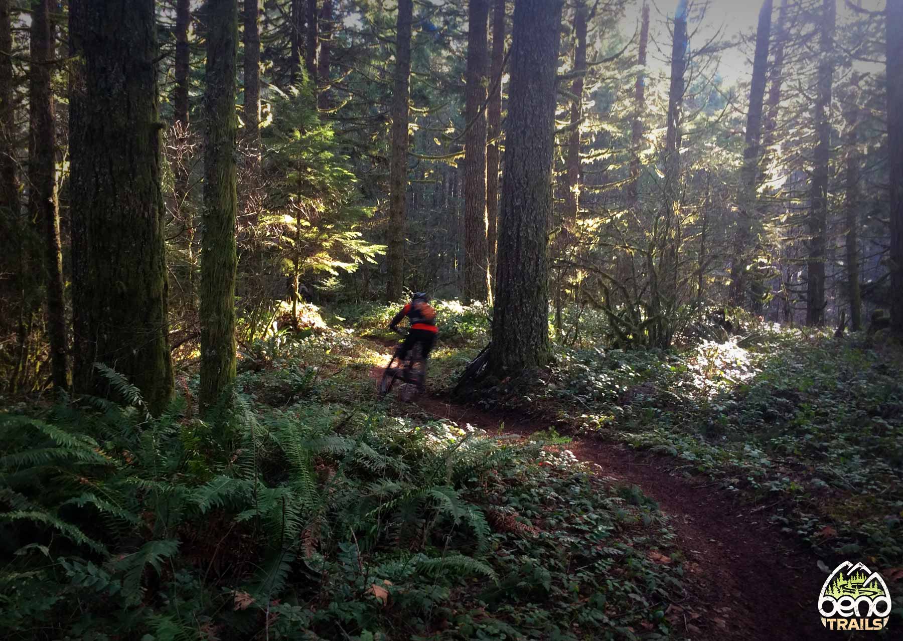
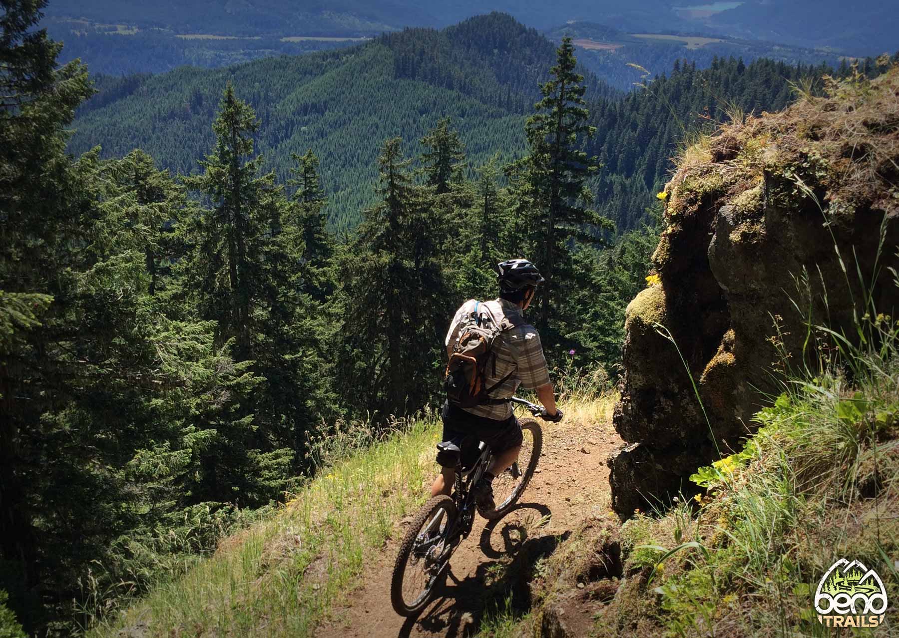
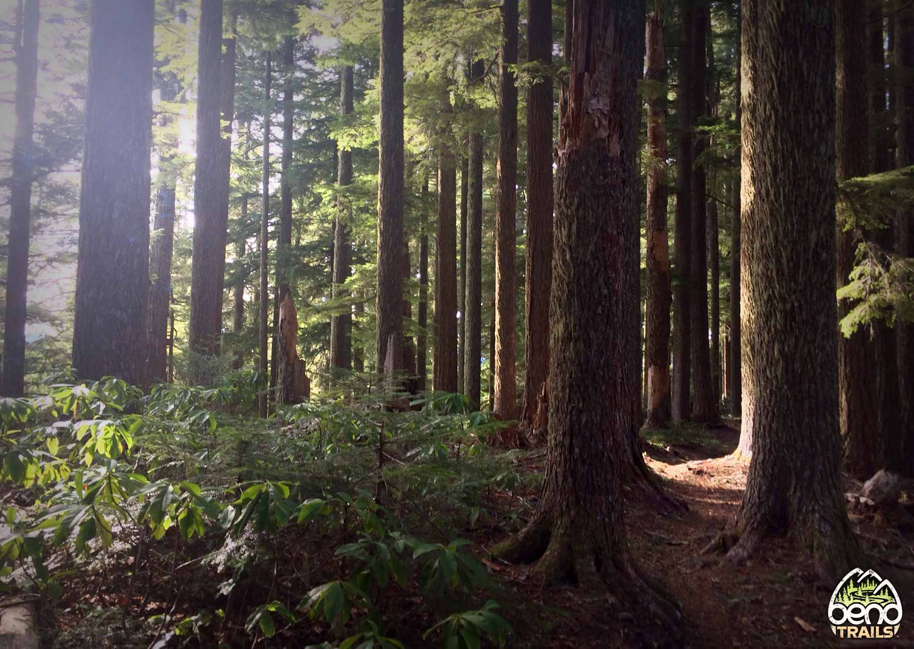
Narrow, twisty, and tight as it winds through meadows and deep green forests, the trail occasionally reveals sweeping views of the Oregon landscape. Like many trails in Oakridge it’s cross-cut along some very steep terrain with a lot of exposure on the downhill side so staying focused on the trail instead of the views is important. Highlights of this trail are the Bunchgrass meadows and the Jedi section of the trail.
A popular 24-mile epic ride option is the ATCA, which includes Alpine, Tire Mountain, and Cloverpatch trails.
Trail Photos
Closed per Chalk Fire
Rode it Memorial Day Weekend. Excellent condition. No issues.
clear from Tire Mtn intersection down. Recent report suggests that you will be able to drive to Windy Pass (bottom of Jedi) by this weekend.
Alpine is clear from the bottom up to Windy Pass, snow above that point. Just below Windy Pass there was a windthrow that took out some trail. Olivia punched in some new tread.
Looks like from windy pass down is open.
Alpine is open from Windy Pass down, but the access roads FS 1910 and 1912 are closed. So the only option is to ride across the bridge (not the covered bridge) into Westfir and the take a left on Winfrey Road (FS5821) and then a right on FS5828. You can then ride up to Alpine trail and then ride up Alpine trail as far as Windy Pass and then turn around and come down Alpine. Do not do what we did here:
https://ridewithgps.com/trips/73700649
and keep riding up FS5828 (past what is shown as mile 8 on the map linked to above) thinking you’ll be able to get back to Alpine. Not a great option, but better than nothing.
Alpine trail is currently closed due to fire. ;(
kate’s Cut in is now accessible! Top to bottom fun!
Alpine is clear up to the snowline (bottom of Sourgrass) and the rest of ATCA is clear. Thanks @oakridgetrails
Rain today slopped things up a bit. Rain was much needed.